Contents
Preface
Depositional and Diagenetic Controls on Reservoir Quality in Deepwater Sandstones in the Lower Wilcox Group, Lavaca Canyon Complex in the Hallettsville Embayment, Southeastern Texas Gulf Coast
William A. Ambrose and Shirley P. Dutton
Stratigraphic Architecture, Depositional Systems, and Lithofacies of the Mississippian Upper Barnett Two Finger Sand Interval, Midland Basin, Texas
Justin V. Mauck, Robert G. Loucks, and David J. Entzminger
Preservation of Reservoir Quality by Chlorite Coats in Deep Tuscaloosa Sandstones, Central Louisiana, U.S.A.
Shirley P. Dutton, Marilyn E. Hutton, William A. Ambrose, A. Taylor Childers, and Robert G. Loucks
Eagle Ford–A Depositional Setting and Processes in Southwestern Texas: An Example of Deeper-Water, Below-Storm-Wave-Base Carbonate Sedimentation on a Drowned Shelf
Robert G. Loucks
Characterization, Origin, and Significance of Carbonate Pulverulite: A Weathering Product of Microporous Strata
Robert G. Loucks, Zsófia Poros, and Hans G. Machel
Methodology for Correcting Bottomhole Temperatures Acquired from Wireline Logging Measurements in the Onshore U.S. Gulf of Mexico Basin to Characterize the Thermal Regime of Total Petroleum Systems
Lauri A. Burke, Ofori N. Pearson, Scott A. Kinney, and Janet K. Pitman
Geologic Mapping of Upper Glen Rose Unit 3 (Lower Cretaceous) in the Onion Creek Basin, Western Hays County, Texas: Implications for Recharge to the Trinity Aquifer
Jeffery A. Watson, Alex S. Broun, Brian B. Hunt, and Douglas A. Wierman
Volume Fractions of Lithologic Units Deposited per Geologic Epoch in the Cenozoic, Keathley Canyon and Walker Ridge, Deepwater Gulf of Mexico: Part 1—Sand, Shale, and Siltstone
Sharon Cornelius and Peter A. Emmet
Volume Fractions of Lithologic Units Deposited per Geologic Epoch in the Cenozoic, Keathley Canyon and Walker Ridge, Deepwater Gulf of Mexico: Part 2—Limestone and Marl
Sharon Cornelius and Peter A. Emmet |
|
2018 (Vol. 7)
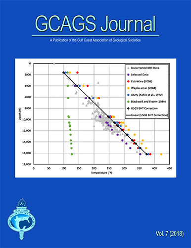
Cover: (Top) The USGS bottomhole temperature correction method was compared to other prominent empirical methods available in the literature. The effect of depth variation was studied for each method. Results indicate the USGS method is most applicable to the onshore Gulf Coast because it is calibrated using data from this region. For more information, please see Burke et al. paper herein.
|